From fieldwork to machine learning – DNV in a national nature mapping project
In 2025, the Norwegian Environment Agency is launching a new and ambitious national initiative: the development of a nationwide nature map for Norway based on the Nature in Norway (NiN) system. The map will be used in strategic land-use planning and municipal-level nature accounting, becoming a key knowledge base for future decisions on land use and nature management.
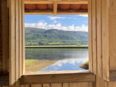
Dokkadeltaet Nasjonale Våtmarkssenter AS (DNV) has been awarded two mapping assignments related to remote sensing in the municipalities of Stad and Holtålen as part of this national effort in 2025.
A nature map created with artificial intelligence – but grounded in field data
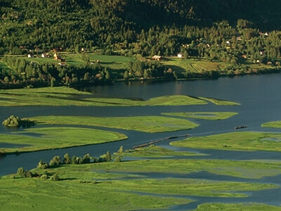
The new nature map will be produced using remote sensing data and machine learning models, including satellite data and other spatial datasets. However, for the models to produce reliable and scientifically robust maps, they are entirely dependent on high-quality field reference data.
The Norwegian Environment Agency is therefore carrying out extensive NiN habitat mapping in selected test municipalities, where the mapping provides training data for the machine learning models. In the first phase, eight municipalities are included, and mapping is conducted within pre-segmented plots along defined transects.
“The amount and quality of field data are crucial for the success of the project. Strict requirements are therefore placed on experience, methodology, and harmonisation between surveyors,” says Magnus Nygård at DNV.
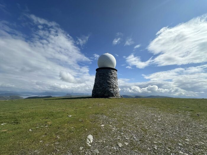
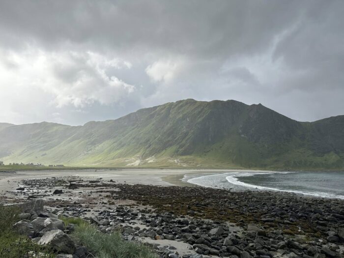
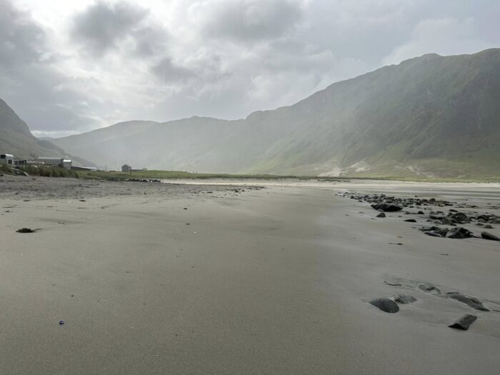
Stad and Holtålen: important test areas
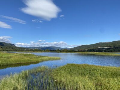
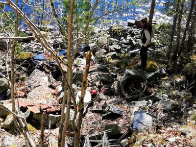
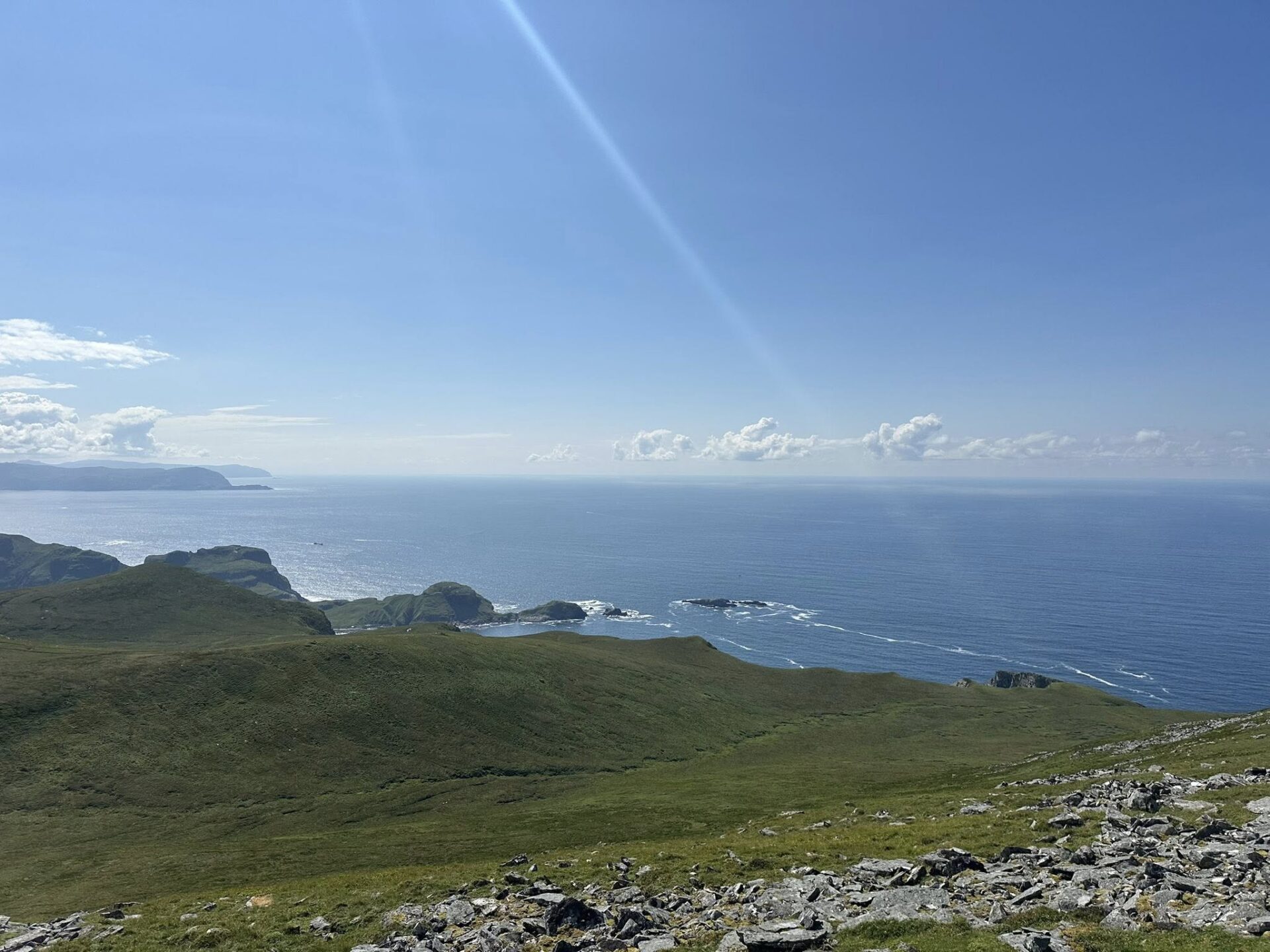
DNV carried out NiN mapping in Stad and Holtålen, two municipalities representing very different natural conditions — from coastal and oceanic landscapes in western Norway to mountain and inland environments in Trøndelag.
The mapping is conducted in accordance with the Norwegian Environment Agency’s specifications, with a focus on:
consistent methodology
high precision in NiN classification
systematic quality assurance before delivery
The data will be used directly in the development and testing of machine learning models that will later be able to predict habitat types across larger areas.
Long experience with NiN and field quality
DNV has played a central role in nature mapping in Norway for many years. The project team participating in the remote sensing initiative consists of surveyors with extensive experience in NiN mapping, baseline mapping in protected areas, and assignments for the Norwegian Environment Agency.
“This is a project where classic field biology meets new technology, and where the quality of fieldwork will shape what future nature maps will look like,” says Nygård.
An important step towards better nature-based decisions
When the project is completed, municipalities will gain access to a new and more comprehensive knowledge base for:
land-use planning
nature accounting
assessment of cumulative environmental pressures
early identification of valuable habitat types
DNV is proud to contribute to this work and looks forward to helping shape the next generation of nature mapping in Norway.